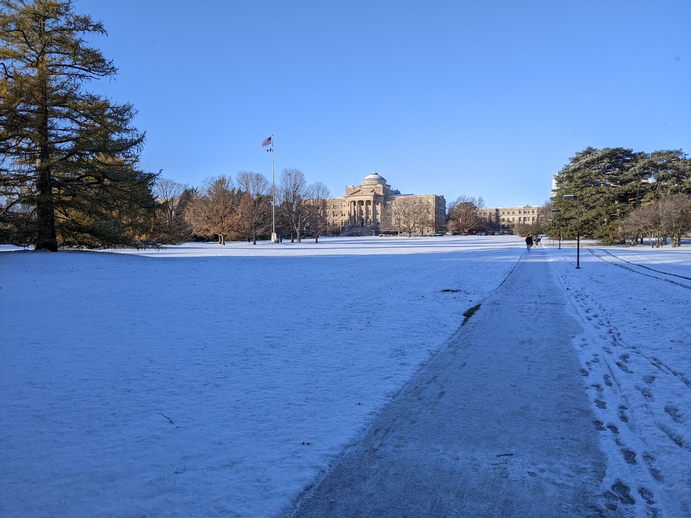
We had our first snow of the season this morning! I knew some snow flurries were forecast before I headed to bed last night, but I was pleasantly surprised to find an inch of snow on the ground after waking up early this morning.
Snow day protocols:
— Charlie Phillips (@WeatherPhillips) December 2, 2024
Portland: cancel schools, buy kale
Seattle: shelter-in-place
Iowa: "what snow?"
About an inch of snow on the ground this morning courtesy of an #AlbertaClipper. Very light and fluffy. First snow of season! pic.twitter.com/cON6oxlG9J
After a quick morning workout, I returned to see bluebird skies and the treetops dotted with snow.
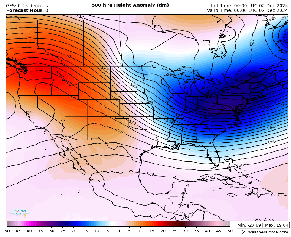
This snow was associated with an “Alberta Clipper,” a fast-moving but relatively dry low-pressure system that typically dives south from Alberta and tracks across the Plains and the Midwest. It is visible as the very weak trough centered over North Dakota in the 500mb anomaly image below. Despite the Clippers themselves being relatively dry, they can induce heavy lake-effect snow downwind of the Great Lakes as they track east and advect cold, unstable air over the relatively mild lakes. The Great Lakes – and Upstate New York in particular – saw very heavy lake-effect snow over Thanksgiving weekend and will see an additional shot of lake-effect snow midweek as this system tracks east.
The long-range forecast looks mostly dry for Ames, but I’m a little nervous for Thursday morning’s commute! A dry cold front is slated to come through Wednesday night, dropping temperatures to the single digits and bringing gusts to 30-40 mph. I had a taste of Iowa winter this morning, but I’ll get a true introduction Thursday morning. At this point, I can only imagine what a true polar vortex will feel like.