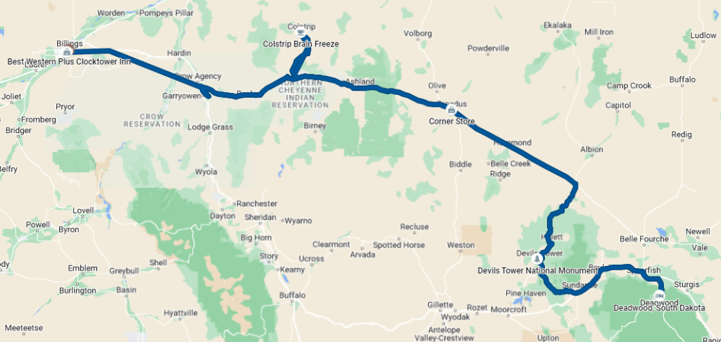
Today, we went from Billings, to the Little Bighorn Battlefield National Monument, to Colstrip, to Devil’s Tower, and finally ended the day in Deadwood, SD. We traveled a respectable 394 miles, kicking off from Billings shortly after 10:30 am and getting into Deadwood around 10:00 pm.
The Little Bighorn Battlefield National Monument was the exact site of the Battle of Little Bighorn, also known as “Custer’s Last Stand.” George Custer was a decorated Civil War hero, reaching the rank of brigadier general in his early 20s. He was assigned by the U.S. government to fight in the Great Sioux War of 1875-1876, where his objective was to force the Cheyenne and Lakota Sioux onto an Indian reservation in Eastern Wyoming. However, when he attacked an Indian Village near Little Bighorn on June 25, 1876, tactical errors and strong resistance resulted in the death of him and every soldier in the 7th cavalry, under his immediate command. The same hubris that gained him widespread acclaim during the Civil War ultimately led to his downfall, as he greatly underestimated the size, experience, and will of the Indians to fight and overestimated his abilities in complex terrain.
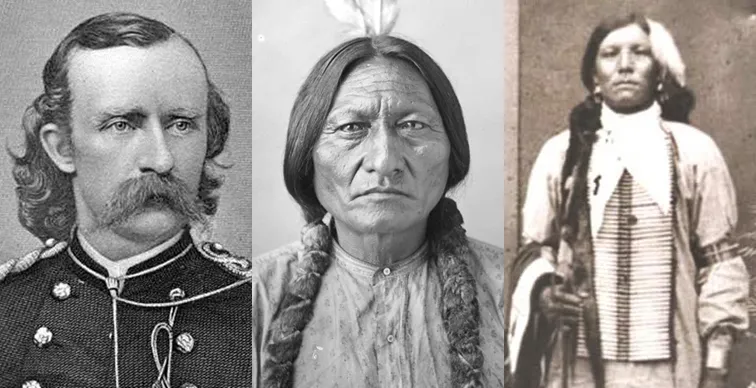
Retrieved from yellowad.co.uk , article by Mick Ferris
The Great Sioux Wars were sparked by the discovery of gold in the Black Hills in 1874 by Western settlers. The Fort Laramie Treaty of 1868 established that the Great Sioux Reservation encompassed the Black Hills and set aside portions of South Dakota, Wyoming, Nebraska, and Montana as “Unceded Indian territory.” The federal government did little to prevent white miners from settling into the Black Hills, but the Sioux attacked white settlers impinging upon – but outside of – the designated Great Sioux Reservation as they headed towards the Black Hills. The U.S. government demanded that the Sioux stay confined to their reservation or be subject to military force, and when the Sioux did not comply, the U.S. government sent Custer and others to move them into Eastern Wyoming, moving them off the Black Hills entirely.
There was a loop around the monument where you could drive past the spots and progression of Custer’s army as well as other infantries and generals coordinating with Custer during the same battle. The end of the battle, known as “Custer’s Last Stand,” was at a hilltop where Custer and the surviving members of his infantry tried to fire below, using their dead horses as barricades. The top of the hill had a monument with the names of the fallen members of the 7th infantry, and there were tombstones below, marking the approximate locations where soldiers (including Custer himself) were killed.
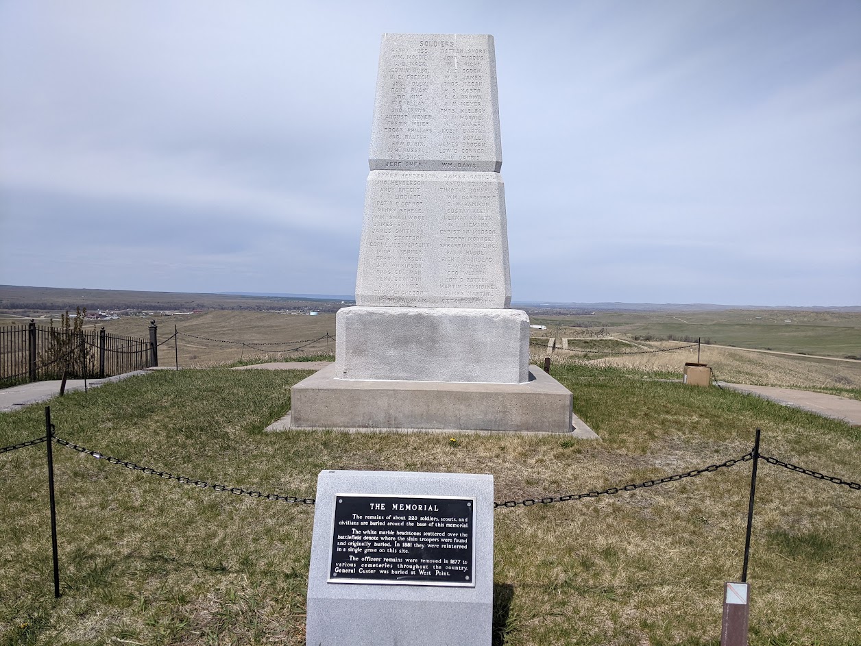
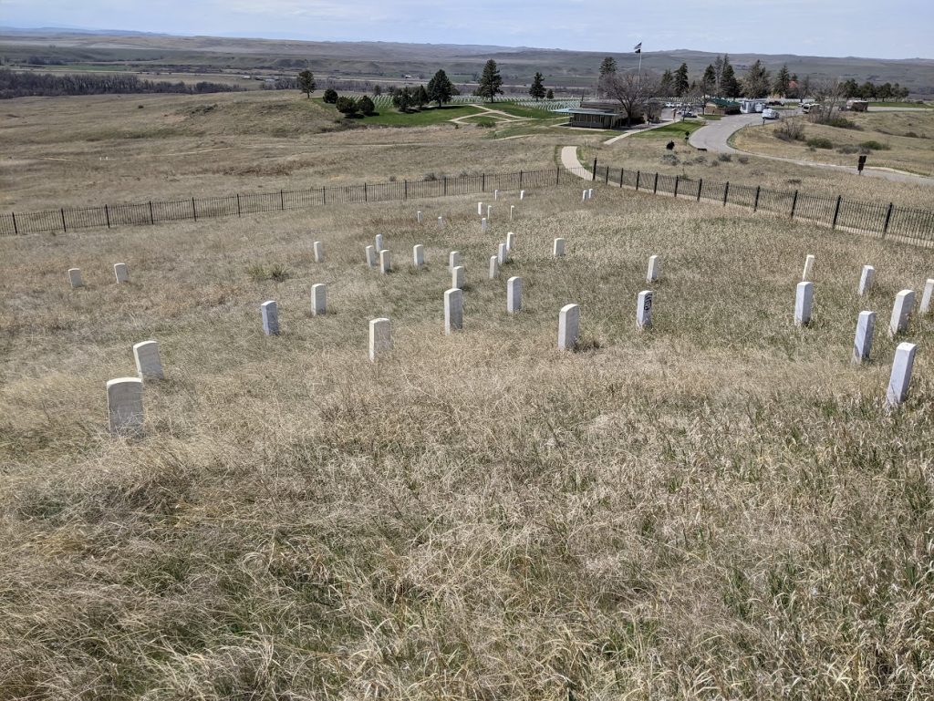
It was very sobering to see the exact locations where soldiers and Indians died and how these deaths progressed as Custer’s group moved towards the top of the hill. The Battle of Little Bighorn is rightly cast as a last triumph for the Indians, who mounted an extraordinary response to Custer’s aggressive, unprovoked attack, but being physically at the site, my mind went straight to the sheer terror felt and brutality experienced by both sides on that day and sadness knowing that the government would mount a swift and relentless response in the years to come. It was a heavy but worthwhile experience and I highly recommend stopping if you ever pass through the area.
Colstrip
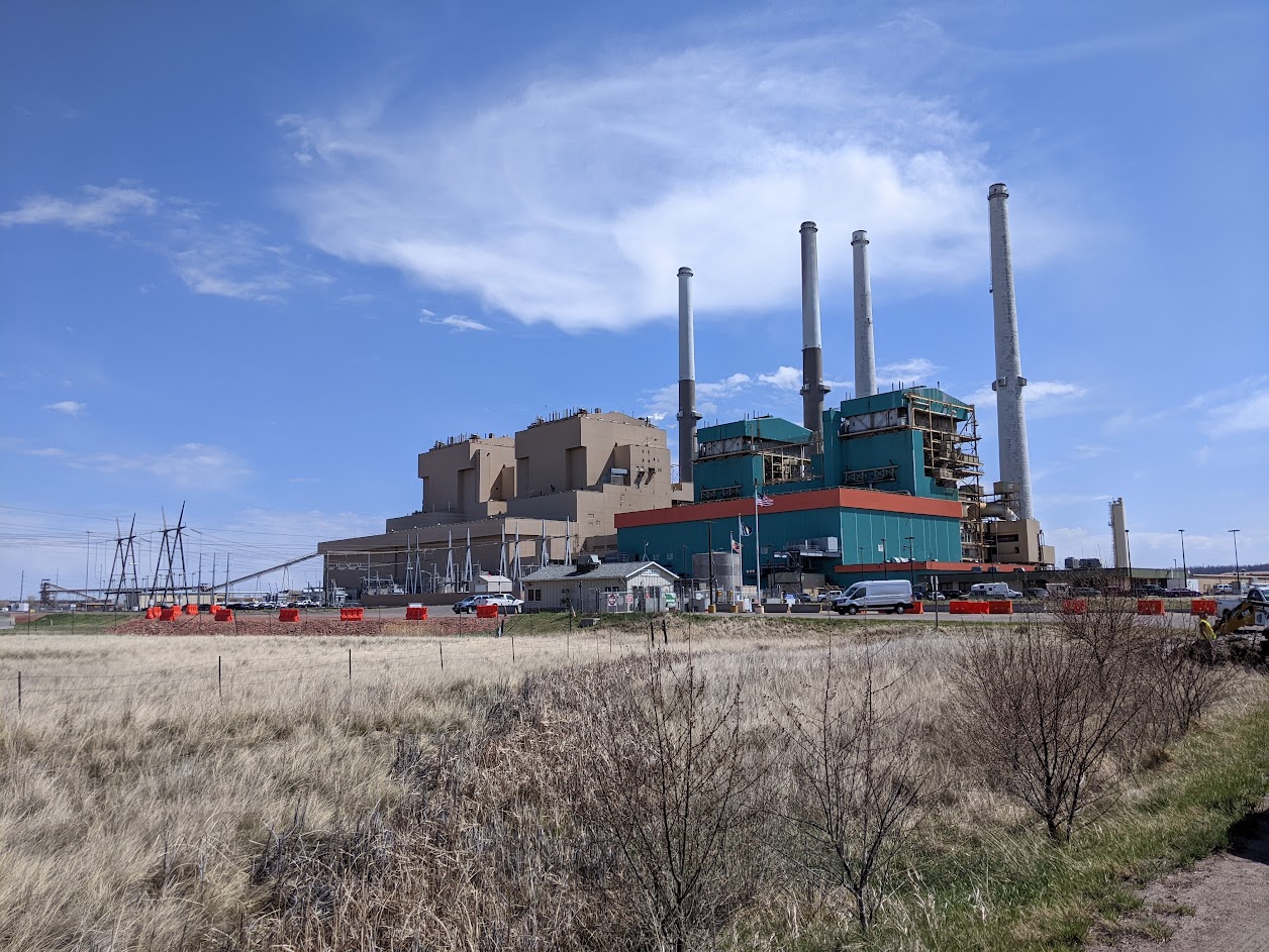
When I was an energy trader at Puget Sound Energy, I sold energy off and scheduled electricity generation at the Colstrip power plant in Colstrip, MT. Even though it wasn’t directly on the way, I wanted to take a little detour and see the power plant and town up close.
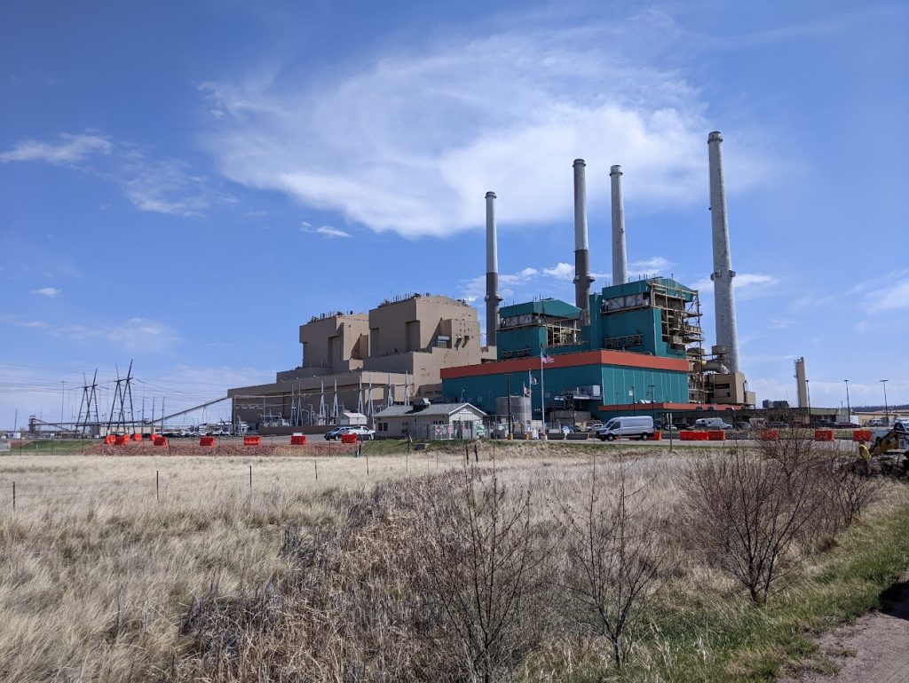
Colstrip power plant began construction in 1972 and originally had two units. Unit 1 became operational in 1975 and Unit 2 in 1976. Units 3 and 4 were added in 1986. The smaller 1 & 2 units were decommissioned January 2020, but Units 3 and 4 continue to run. There is no date on when the coal plant itself will be decommissioned, but it inevitably will be at some point due to the declining cost-competitiveness of coal compared to renewables/natural gas and more stringent clean energy mandates.
Much of the town smelled of burnt coal, though the smell was not overwhelming and did not sting the eyes. The townspeople were very nice; we stopped at the “Brain Freeze” coffee shop to get some coffee and smoothies, and we went to the “Schoolhouse History & Art Center” to learn about the history of Colstrip from Leslie, a current volunteer and former schoolteacher in Colstrip.
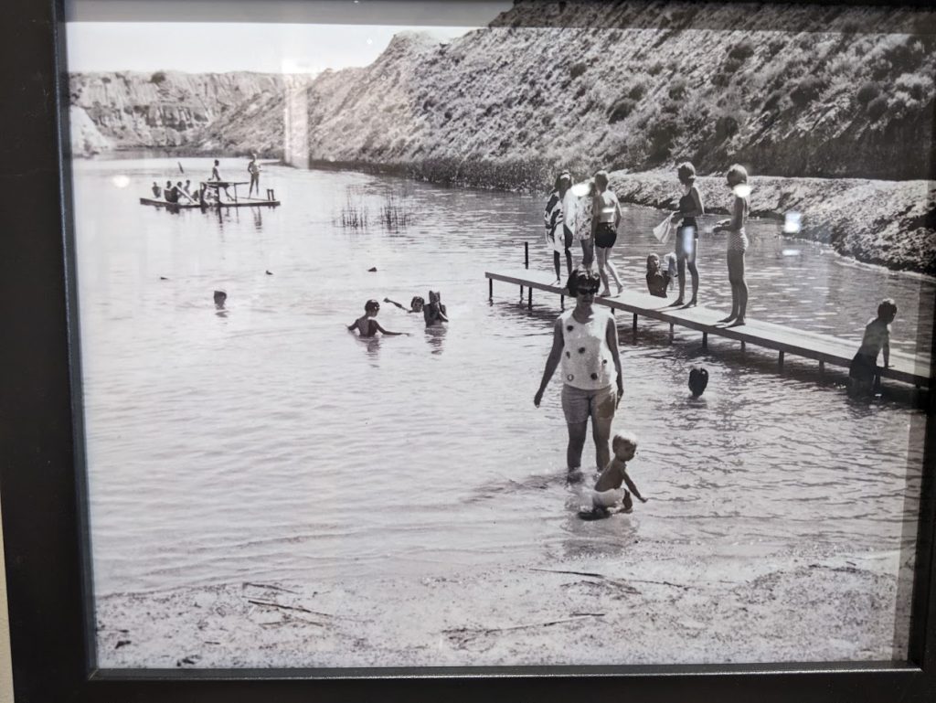
The center had many amazing pictures from Colstrip’s history, but one that stood out to me was some of the local citizens swimming in an old coal mine pit. I was shocked they were ever open for swimming. Thankfully, those days have long passed as we’ve learned how toxic these pits are.
Devil’s Tower
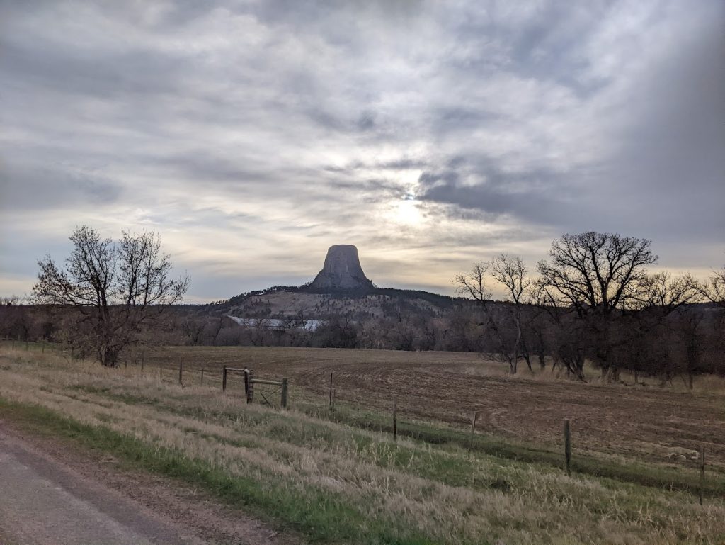
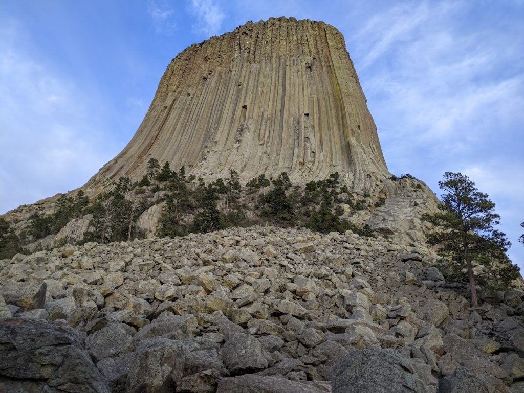
After Colstrip, we made the long trek towards Devil’s Tower. Devil’s Tower is an isolated, 867-foot-tall butte of columnar igneous rock in the northeastern portion of the Black Hills. Unlike many of the features in the Pacific Northwest, these columns are not basalt columns – instead, they are made of phonolite porphyry, a rare, quartz-deficient igneous rock. Geologists still don’t know conclusively how the tower formed, but one leading theory is that it is a “stock” – a small intrusive body formed by magma that was later exposed by erosion. There is limited evidence for it being a volcanic plug, like Shiprock in New Mexico, as there is no evidence of volcanic ash or lava flows in the vicinity.
Seeing the tower from afar was striking, but being at the base of the tower and looking skyward was a spiritual experience.
After Devil’s Tower, we continued southeast to Deadwood, South Dakota in the Black Hills. It felt good to end the day in one of the Plains states! Tomorrow, we’ll explore the Black Hills and Badlands.